 – click for General Verification Guidelines | – click for Specific Verification Guidelines
  – Generally Common / Widespread
  – Day-flying
Blue-coded] moths is not displayed/updated in this tab. However, all verified records for this moth are listed in the RECORDS tab below. 


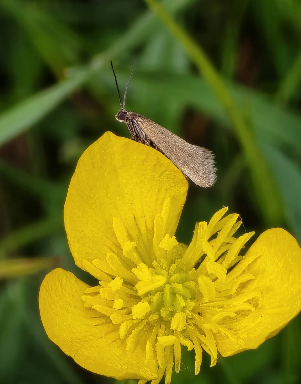
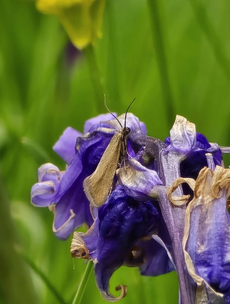
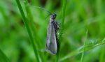
Image Gallery
No gallery images found for this moth.
Temporal Distribution Chart
Adults: (between 1975 - 2026) | Immatures: (between 1997 - 1997)
Distribution Map for Glyphipterix fuscoviridella
↳ 51 from 2026+
↳ 28 from 2020 - 2025
↳ 10 from Before 2020
If the Map Layers function fails, just refresh the page and it should be OK after. Use the +- zoom on the top left, or on a tablet, use two fingers to zoom. Remember, the last layer you ticked is the one which displays the popup information - they sit on top of each other - de-select then re-select, to see the popup values.
Bedrock Geology ** indirectly affects moth distribution by influencing the type of habitat and food plants available in an area. In turn, this may affect the types of moths that can thrive, or where they can most likely be found.
NBN Atlas UK Distribution for – Glyphipterix fuscoviridella
⚠️ Please wait for the map to load fully – do not click the link shown.
Note – the NBN Atlas datasets are listed in the map below and vary in their currency (uptodateness) – however,
the map does give a general indication of the moth's distribution across the UK.
Monthly Records By Year:
Glyphipterix fuscoviridella
( data includes both Larvae and Adult Stages )
Monthly Counts By Year:
Glyphipterix fuscoviridella
( data is based on 'Adult' stage records only )
First/Last Recorded Dates: Glyphipterix fuscoviridella
Adult-only & Anything [Larvae, Pupae, Adult, Mines]
Shading shows moth presence between dates
Click the colour discs below to Select/De-select as Required
Recordings By Year: Glyphipterix fuscoviridella
( All data includes both Larvae and Adult Stages )
Annual Growth Rate (AGR): Glyphipterix fuscoviridella
AGR: -3.68% | Total % Change: -52.7%
Hectad (10kmx10km) Coverage: Glyphipterix fuscoviridella
( data includes both Larvae and Adult Stages )
Flight Periods – Indicative –vs– Recorded Data
Glyphipterix fuscoviridella
Glyphipterix fuscoviridella
Flight Period chart – the grey hatched area above, which can cross one or more months, pictorially represents the best guess we have for this moth's flight periods [month/s]. The coloured lines represent the actual months seen in flight, from site observation records received between 2020-2026.
Records Behind the Map and Charts - Glyphipterix fuscoviridella – 89 records available
Listed by Year - descending - scroll across to see all table columns
| Site Name | Tetrad | Date | Count | Stage | Recorder | Source | RecordKey |
|---|---|---|---|---|---|---|---|
| DWT Wyver Lane | SK34P | 09/06/2026 | 2 | adult | Evans, Dave | vc57_irecords_extract | iBRC53282416 |
| DWT Wyver Lane | SK34P | 09/06/2026 | 1 | adult | Evans, Dave | vc57_irecords_extract | iBRC53282675 |
| Heage | SK35Q | 07/06/2026 | 1 | adult | Evans, Dave | vc57_irecords_extract | iBRC53213469 |
| DWT Wyver Lane | SK34P | 02/06/2026 | 4 | adult | Evans, Dave | vc57_irecords_extract | iBRC53061440 |
| DWT Wyver Lane | SK34P | 02/06/2026 | 2 | adult | Evans, Dave | vc57_irecords_extract | iBRC53061692 |
| DWT Wyver Lane | SK35K | 02/06/2026 | 3 | adult | Evans, Dave | vc57_irecords_extract | iBRC53061548 |
| Belper | SK34U | 01/06/2026 | 5 | adult | Evans, Dave | vc57_irecords_extract | iBRC53024800 |
| Belper | SK35Q | 01/06/2026 | 3 | adult | Evans, Dave | vc57_irecords_extract | iBRC53024838 |
| Belper | SK34U | 31/05/2026 | 3 | adult | Evans, Dave | vc57_irecords_extract | iBRC52900004 |
| Belper | SK34N | 30/05/2026 | 2 | adult | Evans, Dave | vc57_irecords_extract | iBRC52844385 |
| Belper | SK34N | 30/05/2026 | 4 | adult | Evans, Dave | vc57_irecords_extract | iBRC52844406 |
| Heage | SK35Q | 30/05/2026 | 4 | adult | Evans, Dave | vc57_irecords_extract | iBRC52842859 |
| Belper | SK34N | 29/05/2026 | 3 | adult | Evans, Dave | vc57_irecords_extract | iBRC52771036 |
| Heage | SK34U | 29/05/2026 | 2 | adult | Evans, Dave | vc57_irecords_extract | iBRC52760900 |
| Heage | SK35Q | 29/05/2026 | 4 | adult | Evans, Dave | vc57_irecords_extract | iBRC52760803 |
| Heage | SK34P | 28/05/2026 | 8 | adult | Evans, Dave | vc57_irecords_extract | iBRC52724506 |
| Belper | SK34P | 27/05/2026 | 5 | adult | Evans, Dave | vc57_irecords_extract | iBRC52695218 |
| DWT Wyver Lane | SK34P | 26/05/2026 | 15 | adult | Evans, Dave | vc57_irecords_extract | iBRC52681389 |
| DWT Wyver Lane | SK34P | 26/05/2026 | 15 | adult | Evans, Dave | vc57_irecords_extract | iBRC52681403 |
| DWT Wyver Lane | SK34P | 26/05/2026 | 10 | adult | Evans, Dave | vc57_irecords_extract | iBRC52681415 |
| DWT Wyver Lane | SK34P | 26/05/2026 | 5 | adult | Evans, Dave | vc57_irecords_extract | iBRC52681653 |
| Pioneer Meadows LNR | SK43P | 24/05/2026 | 1 | adult | Bryce, Marion | vc57_irecords_extract | iBRC52589888 |
| Pioneer Meadows LNR | SK43P | 24/05/2026 | 1 | adult | Bryce, Marion | vc57_irecords_extract | iBRC53441894 |
| Heage | SK34P | 23/05/2026 | 3 | adult | Evans, Dave | vc57_irecords_extract | iBRC52541479 |
| Heage | SK34U | 23/05/2026 | 5 | adult | Evans, Dave | vc57_irecords_extract | iBRC52541281 |
| Heage | SK35Q | 23/05/2026 | 4 | adult | Evans, Dave | vc57_irecords_extract | iBRC52541312 |
| Heage | SK34P | 22/05/2026 | 14 | adult | Evans, Dave | vc57_irecords_extract | iBRC52488938 |
| Heage | SK34U | 22/05/2026 | 4 | adult | Evans, Dave | vc57_irecords_extract | iBRC52488550 |
| Heage | SK35Q | 22/05/2026 | 4 | adult | Evans, Dave | vc57_irecords_extract | iBRC52488581 |
| Belper | SK34U | 21/05/2026 | 1 | adult | Evans, Dave | vc57_irecords_extract | iBRC52489209 |
| DWT Wyver Lane | SK34P | 12/05/2026 | 38 | adult | Evans, Dave | vc57_irecords_extract | iBRC52177714 |
| rose end meadows | SK25Y | 11/05/2026 | 15 | adult | Ashton, Clive | vc57_irecords_extract | iBRC52156485 |
| Belper | SK34P | 11/05/2026 | 7 | adult | Evans, Dave | vc57_irecords_extract | iBRC52159961 |
| Hay Dale NNR | SK17I | 10/05/2026 | 1 | adult | White, Ian | vc57_irecords_extract | iBRC52167478 |
| Heage | SK34U | 10/05/2026 | 2 | adult | Evans, Dave | vc57_irecords_extract | iBRC52131586 |
| Heage | SK34P | 09/05/2026 | 2 | adult | Evans, Dave | vc57_irecords_extract | iBRC52100011 |
| Heage | SK34U | 09/05/2026 | 3 | adult | Evans, Dave | vc57_irecords_extract | iBRC52099670 |
| Heage | SK35Q | 09/05/2026 | 5 | adult | Evans, Dave | vc57_irecords_extract | iBRC52099923 |
| DWT Wyver Lane | SK34P | 06/05/2026 | 3 | adult | Evans, Dave | vc57_irecords_extract | iBRC52026407 |
| DWT Wyver Lane | SK34P | 06/05/2026 | 3 | adult | Evans, Dave | vc57_irecords_extract | iBRC52027115 |
| Heage | SK34P | 01/05/2026 | 3 | adult | Evans, Dave | vc57_irecords_extract | iBRC51891056 |
| Heage | SK34U | 01/05/2026 | 1 | adult | Evans, Dave | vc57_irecords_extract | iBRC51890685 |
| DWT Wyver Lane | SK34P | 30/04/2026 | 2 | adult | Evans, Dave | vc57_irecords_extract | iBRC51832854 |
| DWT Wyver Lane | SK34P | 30/04/2026 | 2 | adult | Evans, Dave | vc57_irecords_extract | iBRC51833252 |
| DWT Wyver Lane | SK34P | 29/04/2026 | 3 | adult | Evans, Dave | vc57_irecords_extract | iBRC51811985 |
| DWT Wyver Lane | SK34P | 29/04/2026 | 3 | adult | Evans, Dave | vc57_irecords_extract | iBRC51812445 |
| Heage | SK34P | 23/04/2026 | 2 | adult | Evans, Dave | vc57_irecords_extract | iBRC51641676 |
| Heage | SK34U | 23/04/2026 | 2 | adult | Evans, Dave | vc57_irecords_extract | iBRC51641477 |
| Heage | SK35Q | 23/04/2026 | 2 | adult | Evans, Dave | vc57_irecords_extract | iBRC51641635 |
| DWT Wyver Lane | SK34P | 22/04/2026 | 2 | adult | Evans, Dave | vc57_irecords_extract | iBRC51609261 |
| DWT Wyver Lane | SK34P | 22/04/2026 | 2 | adult | Evans, Dave | vc57_irecords_extract | iBRC51609455 |
| DWT Wyver Lane | SK34P | 03/06/2025 | 15 | Adult | Evans, Dave | vc57_irecords_extract | iBRC42045922 |
| DWT Wyver Lane | SK34P | 28/05/2025 | 150 | Adult | Evans, Dave | vc57_irecords_extract | iBRC41951150 |
| DWT Wyver Lane | SK34P | 20/05/2025 | 400 | Adult | Evans, Dave | vc57_irecords_extract | iBRC41723784 |
| Deep Dale | SK17Q | 19/05/2025 | 2 | Adult | Harvey, Martin C. | vc57_irecords_extract | iBRC41755719 |
| Derbyshire, UK | SK17Q | 18/05/2025 | 1 | Adult | Moores, Stephen | vc57_irecords_extract | iBRC47025338 |
| Slinter Wood, Cromford | SK25Y | 15/05/2025 | 1 | Adult | Fletcher, Neil | vc57_irecords_extract | iBRC41733845 |
| DWT Wyver Lane | SK34P | 13/05/2025 | 20 | Adult | Evans, Dave | vc57_irecords_extract | iBRC41552237 |
| DWT Hoe Grange Quarry | SK25I | 09/05/2025 | 50 | Adult | Evans, Dave | vc57_irecords_extract | iBRC41493659 |
| National Stone Centre, Wirksworth. | SK25X | 09/05/2025 | 11 | Adult | Evans, Dave | vc57_irecords_extract | iBRC41493557 |
| DWT Wyver Lane | SK34P | 05/06/2024 | 15 | Adult | Evans, Dave | vc57_irecords_extract | iBRC36287392 |
| DWT Wyver Lane | SK34P | 02/06/2024 | 5 | adult | Evans, Dave | vc57_irecords_extract | iBRC53061346 |
| DWT Wyver Lane | SK34P | 29/05/2024 | 50 | Adult | Evans, Dave | vc57_irecords_extract | iBRC36168584 |
| DWT Wyver Lane | SK34P | 29/05/2024 | 50 | Adult | Evans, Dave | vc57_irecords_extract | iBRC36168595 |
| DWT Wyver Lane | SK34P | 21/05/2024 | 100 | Adult | Evans, Dave | vc57_irecords_extract | iBRC36041841 |
| DWT Wyver Lane | SK34P | 15/05/2024 | 30 | Adult | Evans, Dave | vc57_irecords_extract | iBRC35931093 |
| DWT Wyver Lane | SK34P | 09/05/2024 | 100 | Adult | Evans, Dave | vc57_irecords_extract | iBRC35828170 |
| DWT Wyver Lane | SK34P | 15/06/2023 | 11 | Adult | Evans, Dave | vc57_irecords_extract | iBRC35307959 |
| DWT Wyver Lane | SK34P | 07/06/2023 | 50 | Adult | Evans, Dave | vc57_irecords_extract | iBRC35304008 |
| DWT Wyver Lane | SK34P | 07/06/2023 | 14 | Adult | Evans, Dave | vc57_irecords_extract | iBRC35307847 |
| Clover Close Meadows Elvaston - S | SK43B | 07/05/2023 | 25 | Adult | Bryce, Marion | vc57_irecords_extract | iBRC30252534 |
| Clover Close Meadows Elvaston - S | SK43B | 07/05/2023 | 25 | Adult | Bryce, Marion | vc57_irecords_extract | iBRC30252535 |
| Clover Close Meadows Elvaston - S | SK43B | 07/05/2023 | 5 | Adult | Bryce, Marion | vc57_irecords_extract | iBRC30252536 |
| Clover Close, Elvaston | SK43B | 07/05/2023 | 55 | Adult | Bryce, Marion | vc57_irecords_extract | iBRC30252897 |
| SK/Biggin Dale | SK15N | 29/05/2022 | 5 | Adult | Evans-Hill, Les and Angela | vc57_irecords_extract | iBRC25566046 |
| SK/Biggin Dale | SK15P | 29/05/2022 | 2 | Adult | Evans-Hill, Les and Angela | vc57_irecords_extract | iBRC25566044 |
| Deep Dale, Taddington, Derbyshire, UK | SK17Q | 25/05/2022 | 3 | Adult | Miles, Claire | vc57_irecords_extract | iBRC28684685 |
| Hathersage, Derbyshire, UK | SK28F | 28/05/2021 | 1 | Adult | Miles, Claire | vc57_irecords_extract | iBRC29355672 |
| Crich Chase Meadows DWT | SK35L | 19/05/2020 | 10 | Adult | Precey, Philip | vc57_irecords_extract | iBRC13580224 |
| Crich Chase,Ambergate | SK35L | 23/05/2012 | 1 | Adult | K.R. Huston | vc57_danes_bc_data | LC000334001COY2H |
| Biggin Dale, nr Hartington | SK15P | 04/06/2011 | 1 | Adult | D. Grundy | vc57_danes_bc_data | LC000334001COXNL |
| Mount Pleasant (meadows), Turnditch | SK24Y | 07/05/2011 | 1 | Adult | K.R. Huston | vc57_danes_bc_data | LC000334001COTSU |
| Flagshaw Brook (swamp), Kirk Langley | SK23Z | 05/05/2011 | 1 | Adult | K.R. Huston | vc57_danes_bc_data | LC000334001CP6UM |
| West Hallam (tip) | SK44L | 03/05/2011 | 1 | Adult | K.R. Huston | vc57_danes_bc_data | LC000334001CP6UA |
| Crich Chase meadows,Ambergate | SK35L | 25/04/2011 | 1 | Adult | K.R. Huston | vc57_danes_bc_data | LC000334001COXMC |
| Tideswell Dale | SK17L | 09/06/2007 | 1 | Adult | S.H. Hind | vc57_danes_bc_data | LC000334001CP3TN |
| Foremark Resr, Ticknall | SK32H | 30/05/2006 | 10 | Adult | Topliss, Neil | vc57_danes_bc_data | LC000334001COS7N |
| Linacre Resr, Chesterfield (site not precise) | SK37G | 22/05/1997 | 1 | Larval Mine | VC57 Derbyshire Recorder | vc57_danes_bc_data | LC000334001COZLK |
| Monks Dale,Tideswell | SK17H | 20/06/1975 | 1 | Adult | VC57 Derbyshire Recorder | vc57_danes_bc_data | LC000334001COQA7 |